Oct. 31, 2017
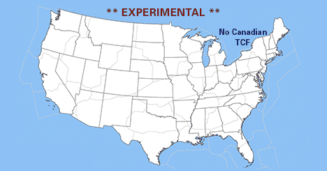
The National Weather Service (NWS) recently began production of the experimental version of the Extended Traffic Flow Management (TFM) Convective Forecast (TCF) product, which will focus on areas of high confidence only, meeting specific criteria for coverage and tops and making it easier for the end user to focus on areas of true concern.
“Not every thunderstorm cell will show up on the TCF, we’re looking for storms that cover a certain amount of area (square miles) before we will call attention to them, explained John Kosak, NBAA’s Air Traffic Services program manager for weather. “The same goes for storms with low tops, below 25,000 feet, we’re going to leave those out.”
The experimental Extended TCF will be used by the traffic management decision makers at the FAA ‘s Air Traffic Control System Command Center, as well as en-route centers and TRACON facilities throughout the National Airspace System (NAS) to decide what traffic management initiatives (TMIs) may be needed to mitigate the impact of the forecast convective weather,” said Kosak.
The Extended TCF will be produced every other odd hour throughout the day. The product will include snapshots for the time periods at two-hour intervals, from 10 to 24 hours in the future, past the issuance time. For example, at 19z on Wednesday, users would be able to see snapshots at 09z, 11z, 13z, 15z, 17z and 19z on the following day.
Within the convective area, coverage is represented as four different levels: sparse (25-39 percent), medium (40-75 percent), broken lines (40-75 percent) and solid lines (75-100 percent). The tops are also represented by four different levels: 290 (25,000-29,000 feet), 340 (30,000-34,000 feet), 390 (35,000-39,000) and >400 (40,000 or more feet). This product covers the continental U.S. and the adjacent coastal waters.
The Extended TCF uses five different models run at different times. These are shown down in the lower left corner of the product. The high resolution rapid refresh (HRRR) model only goes out to 18 hours. As a result, operators will notice that the HRRR models will turn red past 18 hours, indicating that data is no longer being used for the later forecast periods.
This is a fully automated product, unlike the regular TCF, which has human forecasters in the loop.